Trans-Siberian - British Columbia
Return to the main Trans-Siberian trip page.
When I arrived in Vancouver, I was met at the airport by my whole family. My brother had flown down for the weekend, and my parents had driven in to pick me up. My girlfriend at the time arrived from Toronto the following day. It was quite a busy time but great to see everyone.
We had a very relaxing visit with my parents in Slocan Park - mostly reading, sleeping and eating. We did a day trip by car through the communities of New Denver, Sandon, Kaslo and Nelson.
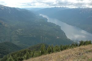
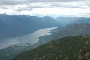
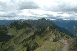
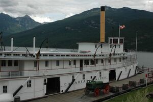
On the way back from Slocan Park, we drove via Revelstoke and the Trans-Canada highway and included a night in Salmon Arm to break up the drive. We went to the top of Mount Revelstoke for the views.
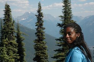
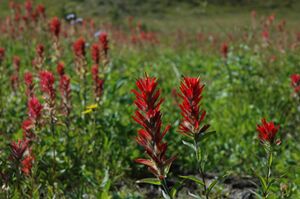
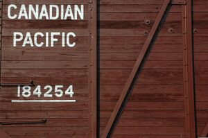
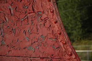
In Revelstoke, we checked out the Revelstoke Railway Museum. I took pictures of the red Canadian Pacific Railway cars in the evening light.
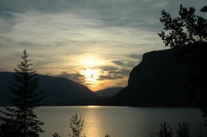
From Revelstoke, we drove through Three Valley Gap and the location of the last spike of the Canadian Pacific Railway. We also caught the sunset over Shuswap Lake.
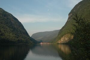
The next morning we drove along the arid Thompson Valley through Kamloops and the Thompson Canyon to Lytton. We saw many trains.
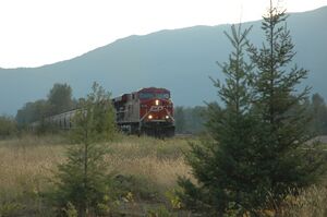
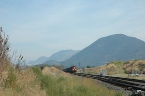
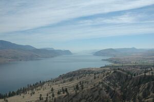
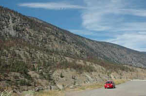
There were more trains and viewpoints in the Fraser Canyon.
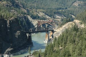
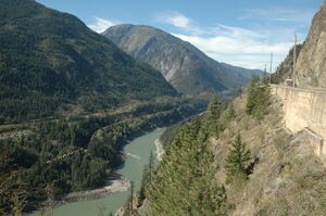
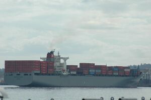
There are few photos from Vancouver as I was running out of memory cards and I had seen many of the sights before. After a day in Vancouver, we caught our plane back to Toronto and home. Here are a couple more abstract photos from Vancouver.
Map of Routes in British Columbia
<googlemap lat="50.04334810145468" lon="-119.96932983398438" zoom="7" controls="small" type="hybrid" width="600" height="350"> >blue 49.24629332459796, -123.035888671875, Vancouver 49.009050809382046, -122.27783203125, 49.360911547126165, -121.35498046875, 49.059469847170526, -120.750732421875, 49.468124067331644, -120.498046875, 49.23912083246698, -119.86083984375, 49.0306652257167, -119.432373046875, 49.0306652257167, -118.751220703125, 49.15656228453343, -118.531494140625, 49.01985919086641, -118.53424072265625, 49.023461463214126, -118.2073974609375, 49.25705010952243, -117.9437255859375, 49.30005381244688, -117.64984130859375, 49.43777096183293, -117.52899169921875, 49.52877389852215, -117.630615234375, Slocan Park >red 49.99538113346376, -117.36419677734375, 50.0483211169555, -117.1636962890625, 49.90701815226818, -116.90277099609375, 49.66940543457046, -116.91650390625, 49.63028296505134, -116.9549560546875, 49.489538473066496, -117.3065185546875, 49.44312875803005, -117.5262451171875, 49.52699115275383, -117.61962890625, >yellow 50.00244316883108, -117.38067626953125, 50.240178884797025, -117.79541015625, 50.534380406110806, -117.9107666015625, 50.63030000433211, -117.872314453125, 51.00338569253192, -118.22113037109375, 51.07764539352731, -118.05084228515625, 51.001657306391756, -118.22662353515625, 50.92727577667011, -118.4820556640625, 51.00338569253192, -118.6688232421875, 50.82502352402512, -119.014892578125, 50.70167663576478, -119.25384521484375, Salmon Arm 50.877044231111014, -119.410400390625, 50.80419899467616, -119.7015380859375, 50.6512019574539, -119.9102783203125, 50.68253745781663, -120.3497314453125, 50.767733723505344, -120.76995849609375, 50.816347765191075, -121.3330078125, 50.63204218884234, -121.36322021484375, 50.42426871587652, -121.31378173828125, 50.266521106936445, -121.39068603515625, 50.233151832472245, -121.5802001953125, 49.94238280025969, -121.46484375, 49.742231602580716, -121.42364501953125, 49.50737665842871, -121.42364501953125, 49.37164333826142, -121.46484375, 49.021660359632115, -122.27508544921875, 49.255257474803116, -123.035888671875, </googlemap> Legend:
- Blue - drive to my parents' home in Slocan Park.
- Red - day trip in the Kootenays
- Yellow - two day drive to Vancouver
Return to the main Trans-Siberian trip page.