Kingston to Ottawa (Part 1): Difference between revisions
No edit summary |
No edit summary |
||
| (9 intermediate revisions by the same user not shown) | |||
| Line 1: | Line 1: | ||
''Skip to [[Kingston to Ottawa (Part 2)|Part 2]] or return to the [[Kingston to Ottawa Cycling|main page]].'' | ''Skip to [[Kingston to Ottawa (Part 2)|Part 2]] or return to the [[Kingston to Ottawa Cycling|main page]].'' | ||
The first day of the trip involved loading everything on to my bicycle and cycling down Yonge Street to Union Station in Toronto. There I dismantled my bicycle ( | The first day of the trip involved loading everything on to my bicycle and cycling down Yonge Street to Union Station in Toronto. There I dismantled my bicycle (removed the peddles and rotated handlebars) and loaded it into a box for VIA rail. I had rehearsed this so things went smoothly for me but a cyclist who arrived shortly after me, could not get his peddles off and damaged my peddle wrench in the process. I arrived in Kingston in the early afternoon, assembled my bike and cycled downtown from the station. | ||
In Kingston, I had a reservation at the Alexander Henry | In Kingston, I had a reservation at the B&B on board the Alexander Henry, a former Coast Guard ship but now part of the Great Lakes Maritime Museum. I cycled around Kingston, including over to the Fort Frederick Museum at the Royal Military College. Around 5pm, I checked in to the B&B and spent the rest of the evening on foot. I walked through the downtown and past Queens University before having dinner. ([[:Category:Kingston|more photos from Kingston]]) | ||
[[Image:1-0001.jpg|thumb|left|120px|Packing my stuff]] | [[Image:1-0001.jpg|thumb|left|120px|Packing my stuff]] | ||
[[Image:1-0002.jpg|thumb|left|100px|''Alexander Henry'']] | [[Image:Kingstron-Ottawa 1-0002.jpg|thumb|left|100px|The ''Alexander Henry'']] | ||
[[Image:1-0011.jpg|thumb|left|My bunk on board ship]] | |||
[[Image:1-0039.jpg|thumb|left|Kingston City Hall]] | [[Image:1-0039.jpg|thumb|left|Kingston City Hall]] | ||
{{Clear}} | {{Clear}} | ||
In the morning, the remains of | In the morning, the remains of Hurricane Katrina provided torrential rain and wind. I headed off anyway on my bicycle. My first stop was at the Kingston Mills locks just north of Kingston - it was still raining so I barely slowed down. From there, I continued north, along Highway 11 and 10 to Perth Road. There I branched off the highway onto the ''Cataraqui Trail''. After an exhausting ride along this trail, I had lunch at Chaffey's Locks as the rain finally ended. From there, I headed north to Crosby and then west to Westport, arriving at 4:30 (~80 km, [http://tinyurl.com/aqdlk see route]). After a shower and nap at the [http://www.bbcanada.com/toyboxbandb Toybox B&B], I walked into Westport for dinner. ([[:Category:Westport|more photos from Westport]]) | ||
[[Image:1-0064.jpg|thumb|left|The Cataraqui Trail]] | [[Image:1-0064.jpg|thumb|left|The Cataraqui Trail]] | ||
[[Image:1-0075.jpg|thumb|left|View from the Toybox B&B]] | [[Image:1-0075.jpg|thumb|left|View from the Toybox B&B]] | ||
[[Image:1-0084.jpg|thumb|left|Westport and Upper Rideau Lake]] | [[Image:1-0084.jpg|thumb|left|Westport and Upper Rideau Lake]] | ||
{{Clear}} | |||
After a delightful breakfast in the sunshine, I cycled back toward Crosby and then north along Highway 14 to the locks at the Narrows. After watching a few boats go through, I continued along Highway 14 and then Highway 21 to Rideau Ferry for lunch and again crossed over the canal system. I had a run-in with a snapping turtle that I attempted to move off the highway. | |||
From Rideau Ferry, I headed directly east, bypassing Smiths Falls along the back roads. I cut north through Kilmarnock Island, one of my favourite parts of my trip, then into Merrickville for the night (~90 km, [http://tinyurl.com/7fws8 see route]). Since my B&B was about 1km out of town, after a shower and nap, I cycled back into town for dinner and to enjoy the sunset. | |||
[[Image:1-0112.jpg|thumb|100px|left|The Narrows lock]] | |||
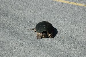
[[Image:1-0114.jpg|thumb|left|Snapping Turtle]] | |||
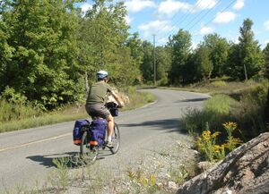
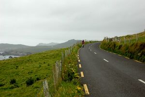
[[Image:1-0113.jpg|thumb|left|Cycling]] | |||
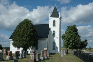
[[Image:1-0134.jpg|thumb|left|Church at Wolford Chapel]] | |||
{{Clear}} | |||
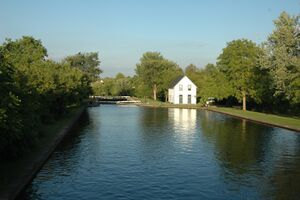
Merrickville has been named the 'prettiest village' in Ontario. My opinion is that it is a fake town - almost all it has are restaurants, antique stores and jam stores. It has a lovely park beside the canal though. ([[:Category:Merrickville|more photos from Merrickville]]) | |||
[[Image:1-0174.jpg|thumb|left|Merrickville Lock]] | |||
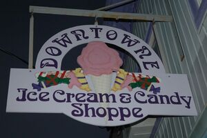
[[Image:1-0190.jpg|thumb|left|A 'shoppe']] | |||
[[Image:1-0308.jpg|thumb|left|Lock winch]] | |||
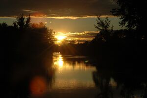
[[Image:1-0310.jpg|thumb|left|Sunset]] | |||
{{Clear}} | |||
'''Continue to [[Kingston to Ottawa (Part 2)|Part 2]]''' | |||
Latest revision as of 23:10, 4 January 2024
Skip to Part 2 or return to the main page.
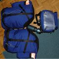
The first day of the trip involved loading everything on to my bicycle and cycling down Yonge Street to Union Station in Toronto. There I dismantled my bicycle (removed the peddles and rotated handlebars) and loaded it into a box for VIA rail. I had rehearsed this so things went smoothly for me but a cyclist who arrived shortly after me, could not get his peddles off and damaged my peddle wrench in the process. I arrived in Kingston in the early afternoon, assembled my bike and cycled downtown from the station.
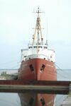
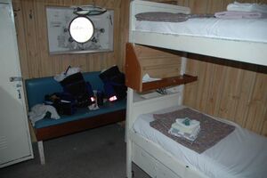
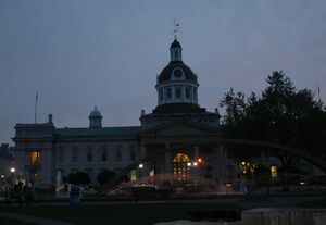
In Kingston, I had a reservation at the B&B on board the Alexander Henry, a former Coast Guard ship but now part of the Great Lakes Maritime Museum. I cycled around Kingston, including over to the Fort Frederick Museum at the Royal Military College. Around 5pm, I checked in to the B&B and spent the rest of the evening on foot. I walked through the downtown and past Queens University before having dinner. (more photos from Kingston)
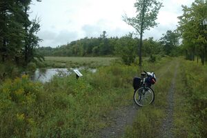
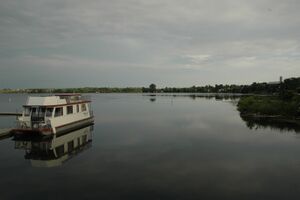
In the morning, the remains of Hurricane Katrina provided torrential rain and wind. I headed off anyway on my bicycle. My first stop was at the Kingston Mills locks just north of Kingston - it was still raining so I barely slowed down. From there, I continued north, along Highway 11 and 10 to Perth Road. There I branched off the highway onto the Cataraqui Trail. After an exhausting ride along this trail, I had lunch at Chaffey's Locks as the rain finally ended. From there, I headed north to Crosby and then west to Westport, arriving at 4:30 (~80 km, see route). After a shower and nap at the Toybox B&B, I walked into Westport for dinner. (more photos from Westport)
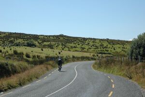
After a delightful breakfast in the sunshine, I cycled back toward Crosby and then north along Highway 14 to the locks at the Narrows. After watching a few boats go through, I continued along Highway 14 and then Highway 21 to Rideau Ferry for lunch and again crossed over the canal system. I had a run-in with a snapping turtle that I attempted to move off the highway.
From Rideau Ferry, I headed directly east, bypassing Smiths Falls along the back roads. I cut north through Kilmarnock Island, one of my favourite parts of my trip, then into Merrickville for the night (~90 km, see route). Since my B&B was about 1km out of town, after a shower and nap, I cycled back into town for dinner and to enjoy the sunset.
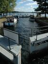
Merrickville has been named the 'prettiest village' in Ontario. My opinion is that it is a fake town - almost all it has are restaurants, antique stores and jam stores. It has a lovely park beside the canal though. (more photos from Merrickville)
Continue to Part 2